You are using an outdated browser. For a faster, safer browsing experience, upgrade for free today.

GLOBAL MONITORING, DAILY INSIGHT

Get a continuous view of your areas of interest to discover patterns, detect early signals of change, and make timely, informed decisions. With 150+ satellites in orbit, LSF is able to scan the globe, imaging the entirety of the Earth’s landmass every day.

REAL-TIME ANALYSIS WITH LSF MONITORING

Increase transparency, get historical context, identify change, and intervene quickly with the most up-to-date imagery over your areas of interest.

  • Access new imagery on a daily basis
  • Analyze deep stacks of imagery with our growing archive back to 2009
  • Monitor change broadly to task high-resolution SkySat imagery for detail

Ultra Recent And Ready To Integrate

Power your applications and analytics with seamless Basemaps built from the most recent imagery over broad areas.
With daily, global imaging, LSF selects the best pixels and transforms them into visually consistent and scientifically accurate mosaics that empower time-series analysis and machine learning-powered analytics.

SELECT BASEMAPS

Actionable insights at the highest frequency

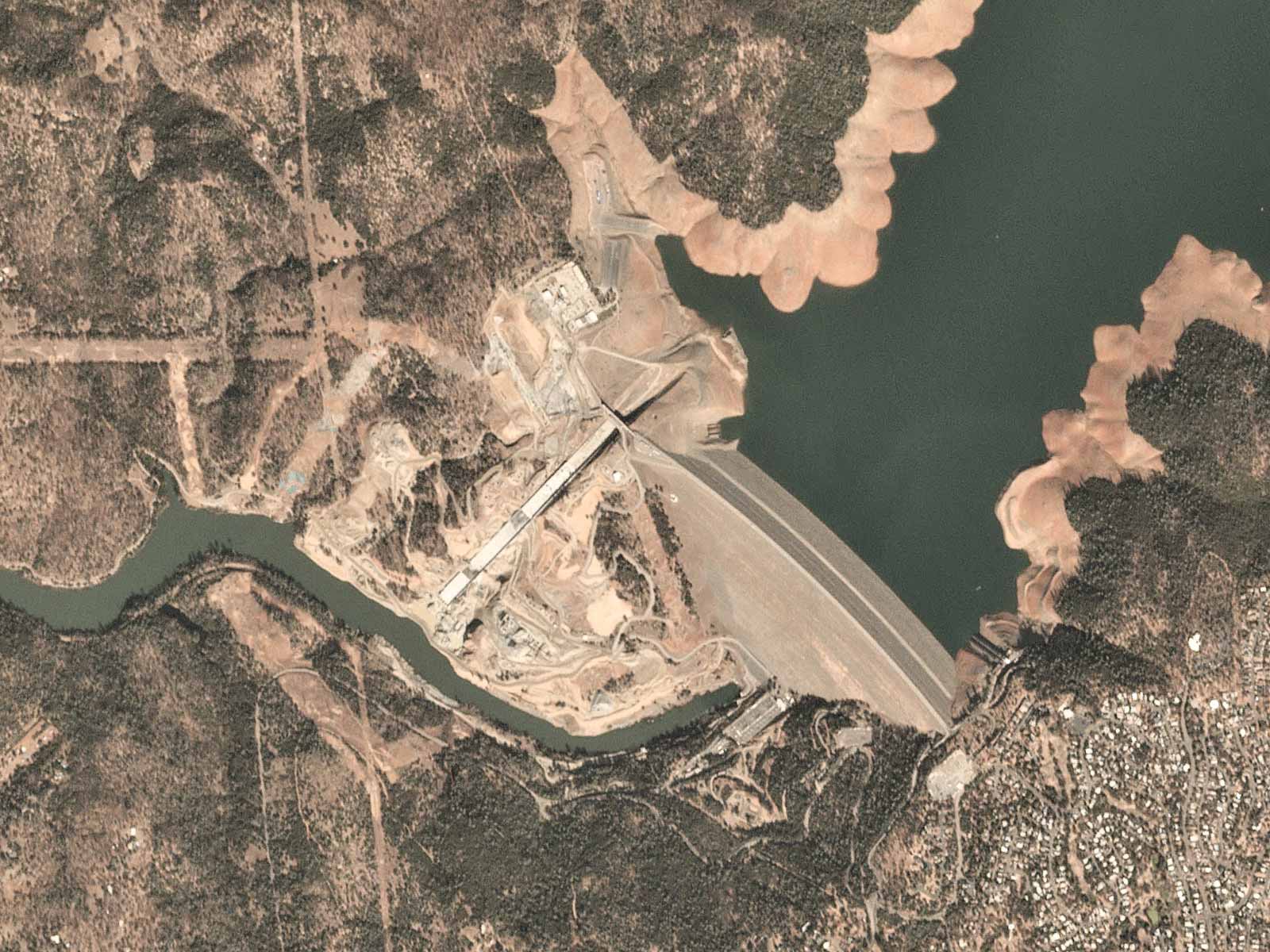
Monitor evolving landscapes and infrastructure over time and derive insights from advanced analytics over large regions. Select Basemaps give you the power to define what you need, where you need it, and how often – without sacrificing coverage or quality.

THE ENTIRE EARTH, EVERY DAY

LSF provides geospatial insights at the speed of change, equipping organizations with the data necessary to make informed, timely decisions. With best-in-class imagery, you can monitor areas of interest, validate information on the ground, and discover trends relevant to your organization.

Our constellations

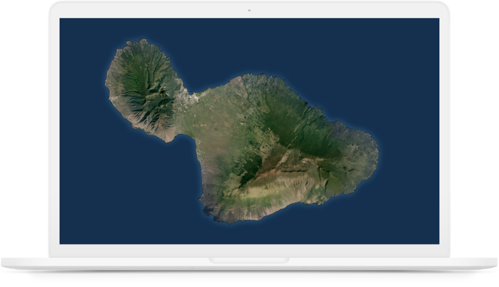
LSF operates more than 150 satellites that together provide an unprecedented dataset of Earth observation imagery. With a unique combination of coverage, frequency, and resolution LSF delivers geospatial insights at the speed of change, helping you get the most nuanced understanding of changing ground conditions.

TASKING

Rapid revisit, global intelligence

Empowering organizations with insights multiple times per day through the most agile constellation of high-resolution Earth imaging satellites.
LSF Tasking provides organizations with real-time intelligence to proactively identify blind spots, anticipate events, and have confidence in the next mission-critical decision.

OUR CAPACITY ENABLES YOUR SCALE

More satellites means more opportunities for you to monitor recent changes across geographically distributed assets at scale – not just a few times a year.

This enables reliable insight generation, delivered through LSF’s powerful cloud-based infrastructure.

ANALYTIC FEEDS

Transforming imagery to insights

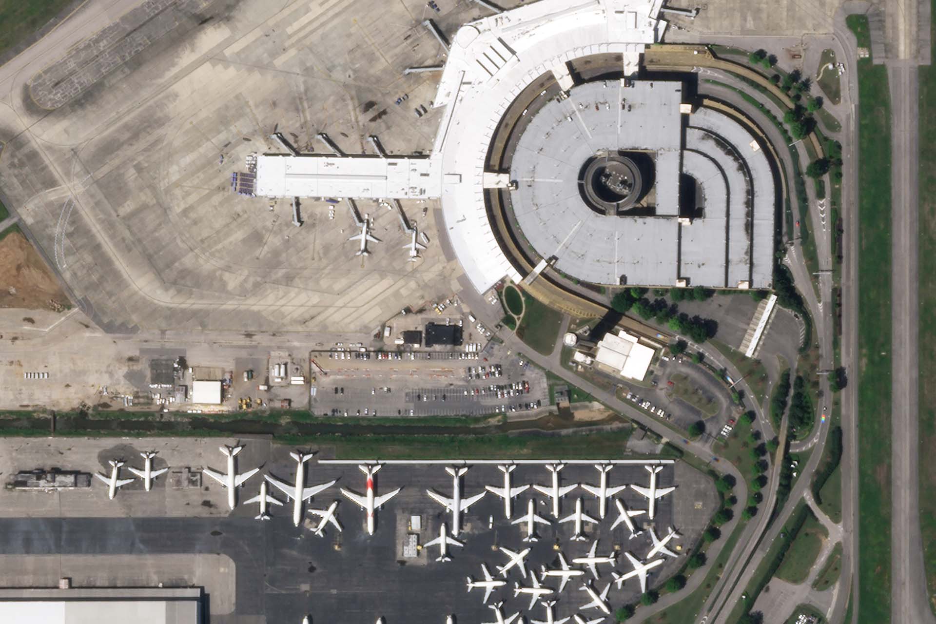
Frequent, global imagery is a powerful source of truth. But harnessing that data can be challenging, even for the most seasoned users, and manual, time-intensive approaches often fall short. Now you can unlock deeper insights from LSF imagery by leveraging automated, cloud-based, and global-scale LSF Analytic Feeds.

PLATFORM

Automated, scalable, API-first

LSF’s automated, cloud-based imagery and analytics platform downloads, processes, and manages 7+ terabytes of data every day. Built for speed and flexibility, our platform enables customers to efficiently access, discover, and build solutions at scale.